The latest update of S-map Online, a tool developed and updated by Manaaki Whenua – Landcare Research, is scheduled for tomorrow.
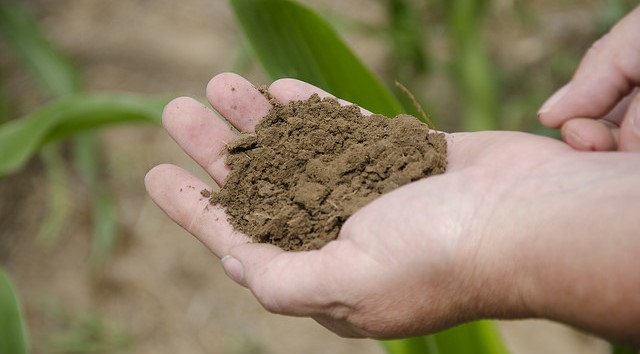
S-map provides the best available soil survey data for New Zealand.
A major focus of the update will be soil hydrology information. This is an outcome of an Endeavour science programme, funded by the Ministry of Business Innovation and Employment and running from 2016-21, which has focused on the science that underpins S-map to enable continual improvement in soil information for New Zealand.
Much richer soils data means much better modelling assumptions, which in turn support better decision-making.
More accurate soil moisture information will lead to better knowledge of irrigation demand and nutrient losses.
The main changes to S-map, which users will see online, are:
- increased coverage of New Zealand.
- a new model for estimating soil hydrological properties (including available water).
- three new national maps of soil chemistry attributes (carbon, pH, P retention).
- two new tools that help land managers and consultants find the S-map soil type that best matches on-farm field observations.
More details on each of the main changes are outlined below:
1) Increased coverage. With an additional 5,000 km2 of soil data, S-map now covers 36.6% of New Zealand, including 67.3% of the “multiple use land” in the country.
2) New estimates of soil water attributes for all soil siblings (local soil types mapped in S-map). The MBIE-funded research programme has enabled a substantial increase in the measured laboratory data that underpins model predictions in S-map. This has increased the number of samples from 1339 (on 313 sites) to 4641 (on 684 sites). The larger dataset has resulted in a significantly more robust model for estimating soil water attributes for S-map siblings. In the previous 2014 model, 838 soil siblings could not be predicted because the estimate of the prediction error indicated they were too unreliable. Just four siblings are too uncertain in the 2020 model.
Because this is the release of a new national model, all soils in S-map can potentially have a change in their predicted attribute values. In the new 2020 model the estimates of Available Water have in general decreased for siblings from the Allophanic, Gley, Pumice, Recent and Ultic NZSC soil orders, and increased for Granular and Semiarid soils.
The impact of the new soil moisture information has been tested in OverseerFM by comparing the nutrient loss results from 32,000 farms. Of these, the Overseer team report that 71% have a change in estimated nitrogen losses of less than ±10%, but 8% will see an increase of more than 20% in the estimated nitrogen loss/ha. More details on this are available in the Overseer Knowledge base.
NOTE: Overseer will NOT be automatically updating all analyses within OverseerFM as would be done for an Overseer version change. OverseerFM users will be able to check and update their own soil information. More details on this are available in the Overseer Knowledge base.
3) New soil chemistry attribute layers. Three new layers of topsoil chemistry information have been generated for regional-scale analysis of all of New Zealand: soil carbon (stocks), pH and P retention.
4) New tools. The Sibling Finder allows land managers to search the S-map database for soil siblings in their area that match observations they can make by digging a hole. The mapunit factsheet tool allows users to quickly visualise soil siblings at a location, making it easier to see the differences between them, and to identify the most relevant S-map sibling for a paddock at the farm scale.
Useful links:
S-map Online: https://smap.landcareresearch.co.nz/
Overseer: https://www.overseer.org.nz/
Webinar about the changes: https://www.youtube.com/watch?v=XJtSwat1jDY
Source: Landcare Research